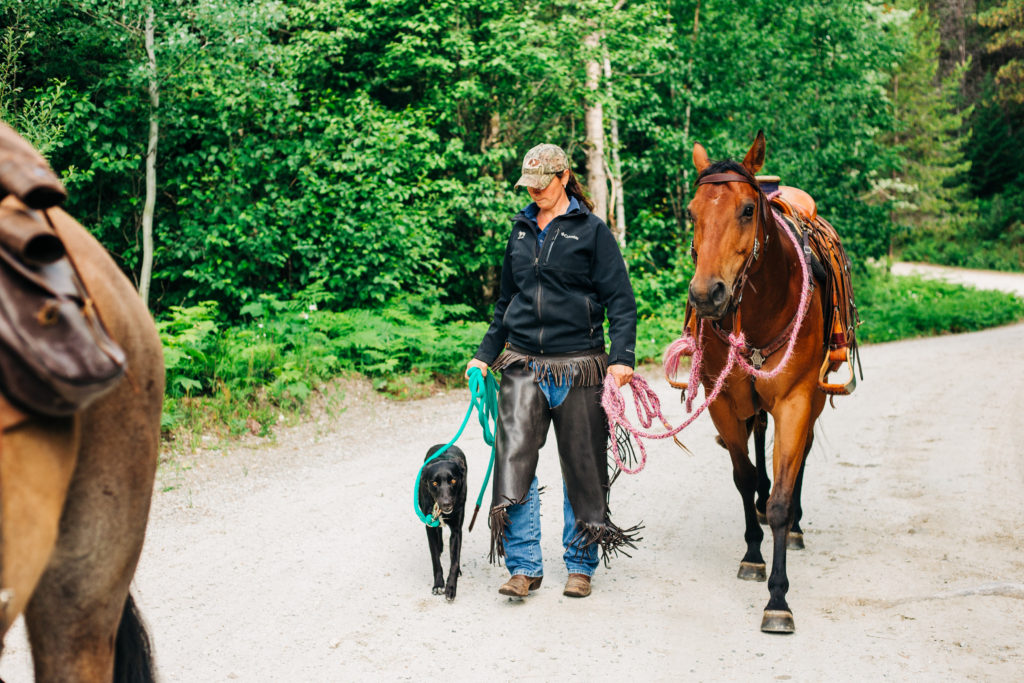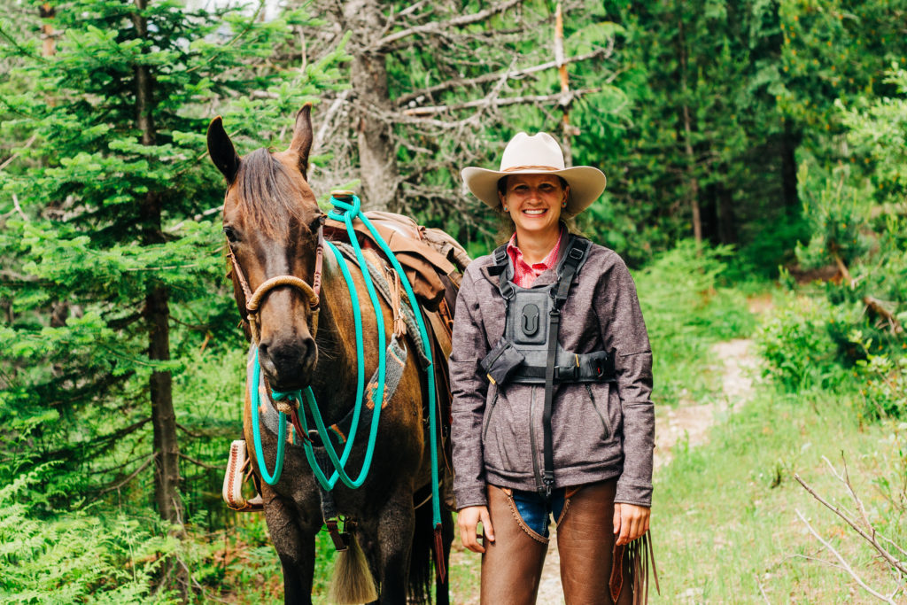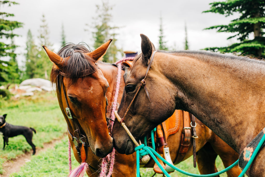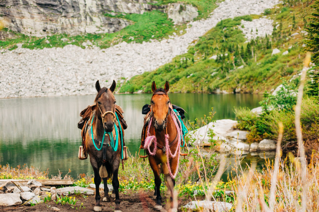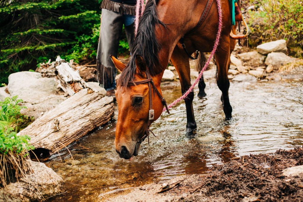
Summer is finally here and with it comes my favorite activity… exploring on horseback!
I have done some sharing on my Instagram lately about how I find trail information and how nothing is guaranteed, even if you have firsthand information from someone else who has been on that trail.
But I figured it might be helpful if I shared in more detail how I find trails to ride and some sources I use for information.
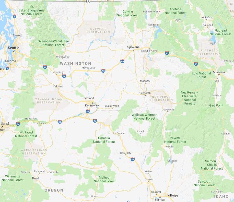
Google Maps
Honestly, the first thing I do is pull up Google Maps and look for “green spots” in the general area I am hoping to ride… that area is usually decided by who I am riding with and the distance it is for each of us to travel.
For me, the “green areas” are usually National Forests. Your public lands may be something different… or, you may not have public land around you. In which case, I would consider moving… ha!
U.S. Forest Service Website
Once I have narrowed down the area I think I want to ride in, I usually hit the US Forest Service website next. The trails are broken down by what activity is allowed there so I select “Horse Riding” and then the trails are broken down by ranger district within that National Forest. This is important information because if you are traveling from out of state and need health certificates to travel, your vet will likely use the address of the ranger station for the area you are going to.
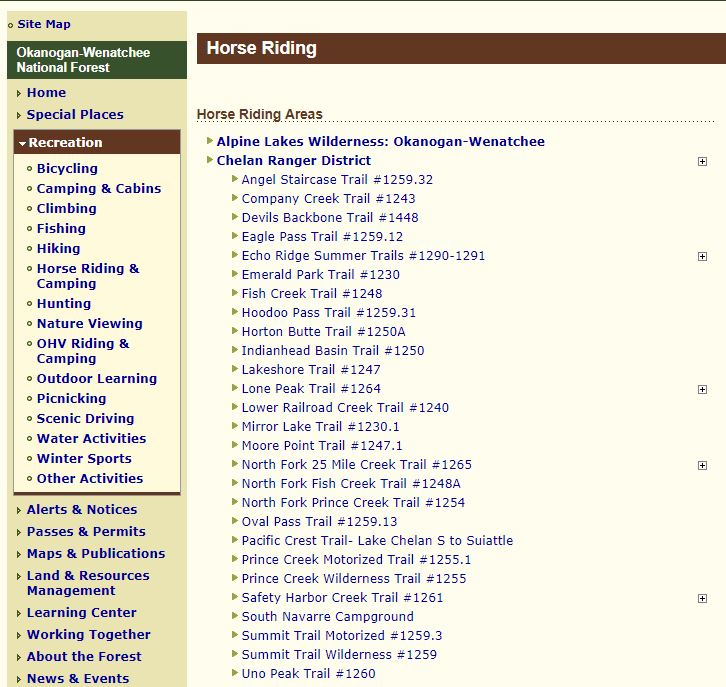
From here it gets tricky. Some areas have a lot of information on the trails, some areas have little to no information on the trails. Regardless of the amount of information, it gives me a good place to start because I can at least learn the names of the trails and what ranger district it’s in so I know who to call for updates on the trail conditions.
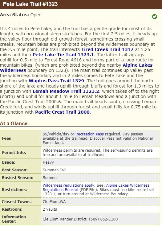
If it’s an area with a lot of information, the best piece of information I get from this website is the level of use the trail gets. If it says “heavy”, I usually stay away from it.
Once I have identified some trails that I think look promising, or just identified trails by name in general, I start with a Google search. Washington in particular has a few different websites that hikers frequent and they post information on message boards or trail information pages on how their particular trip went and give their experience. These websites are also useful in getting a ball-park for things like trail distance and elevation gain (because, know your and your horse’s limits).
Call the Ranger District
If the area you think you want to ride falls in a ranger district or some other agency that employs people to know the area, call them and ask for trail conditions and parking information and make sure they know you’re planning on riding the trail, not hiking it.
Other Resources
- USFS Maps (I have and use a lot of these for the different areas we ride and I bring them with me on the trail… how much good they do me when I’m actually out there is debatable because I “kind of” struggle with reading things like maps, clocks, and calendars.)
- Hiking Books for your area – just make sure you are checking the copyright date and then do your best to corroborate the information you find before you set out. AND make sure
- Facebook Searches – it sounds ridiculous but FB search the name of the trail and see if there’s any information out there!
- Facebook Groups – likewise, some states/areas have specific facebook groups for trail riders and some of them share some good information in those forums.
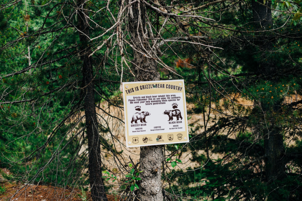
Things to Keep in Mind
- Trail difficulty – length of trail and elevation gain and what kind of shape you and your horse are in… all important!
- Parking – is there a large parking area for your pickup & trailer or is there parking within a reasonable distance from the trailhead? Backing down mountain roads looking for a safe place to turn around is not fun.
- Weather – a lot of times you know the town that the trail is “closest to” and you can look up that weather… then expect it to be colder and storms to roll in faster because, mountains.
- Trail useage – not only how popular the trail is but who is allowed to use it? Just hikers? Mountain bikers? My least favorite, off-road vehicles?
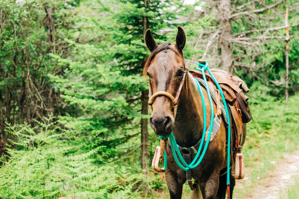
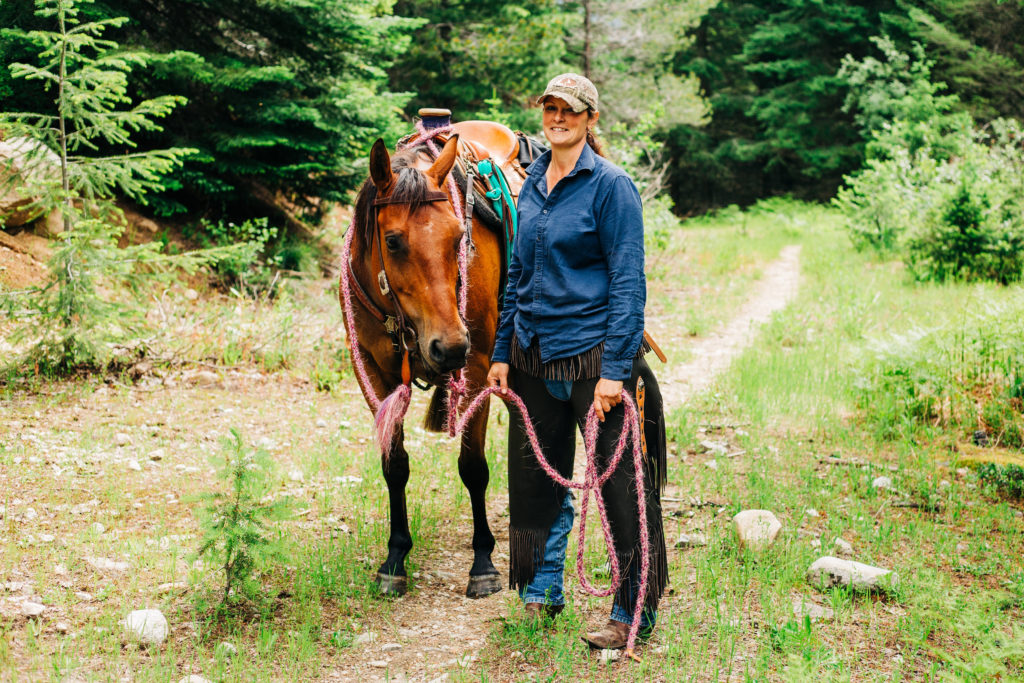
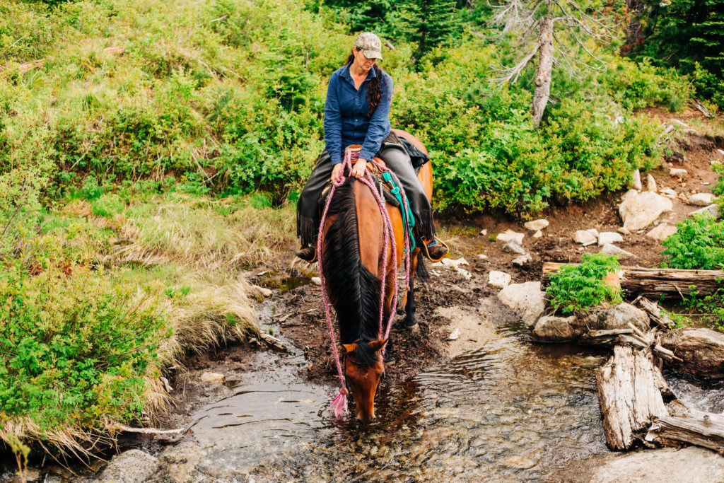
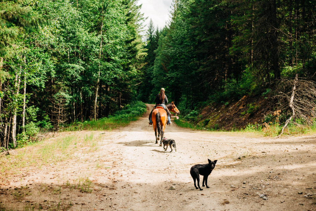
Be Ready for an Adventure
Have fun! Obviously a lot of research, preparation, and planning goes into finding trails to ride and once your “big day” or “big trip” comes… have fun! But also understand that there are plenty of elements beyond your control and things may not work out the way you had planned… and that’s called having an adventure.